Long-range transportation plan
-
 bill emory
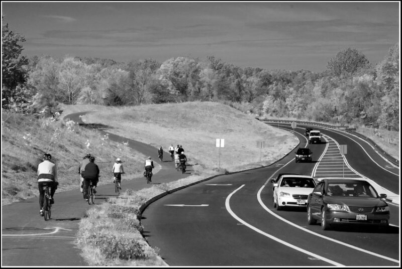
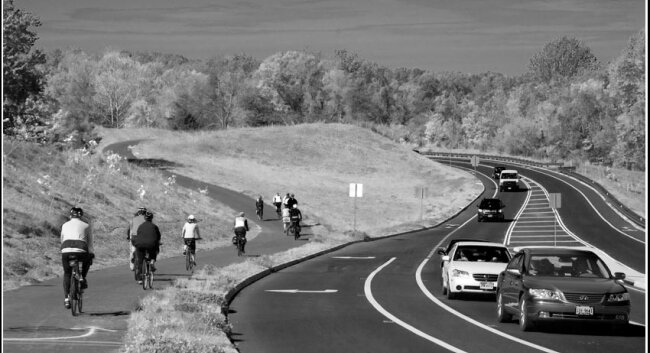
"Cville Bike mApp project is a regional bike-mapping project developed by the Charlottesville-Albemarle Metropolitan Planning Organization, in partnership with BikeCharlottesville, the City of Charlottesville, Albemarle County, and the University of Virginia. It will allow transportation planners to better understand how cyclists use the current transportation system. Cyclists will use the App to map their ride and then upload the data. Staff will use the uploaded data for mapping to determine key cycling corridors, barriers, and routes." –TJPDC
The kick-off ride for the "mApp" occurred on April 14 as local cyclists paralleled the John Warner Parkway.
~
Commentator Bill Emory puts up a new photo nearly every day at billemory.com/blog.
Read more on: Bike mApp